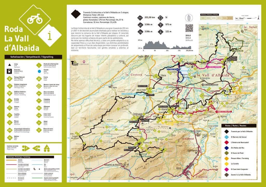
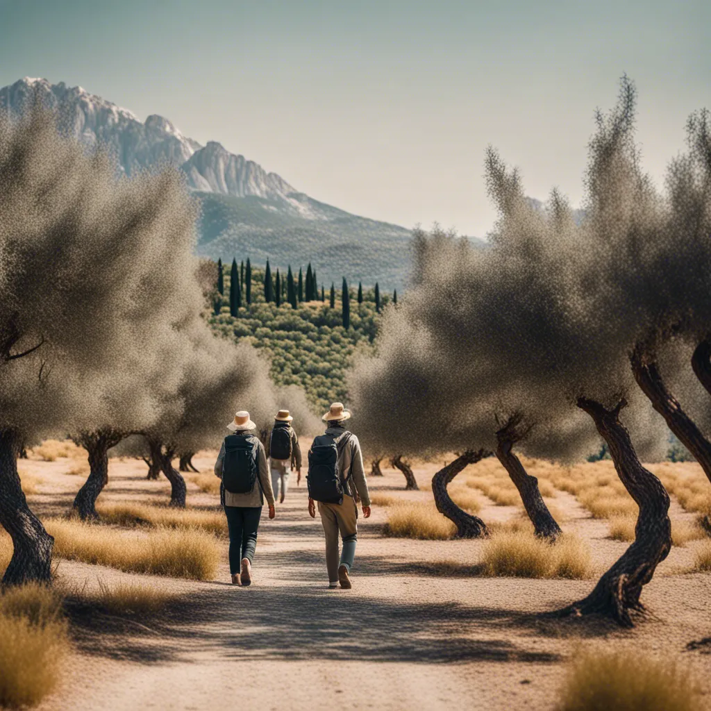
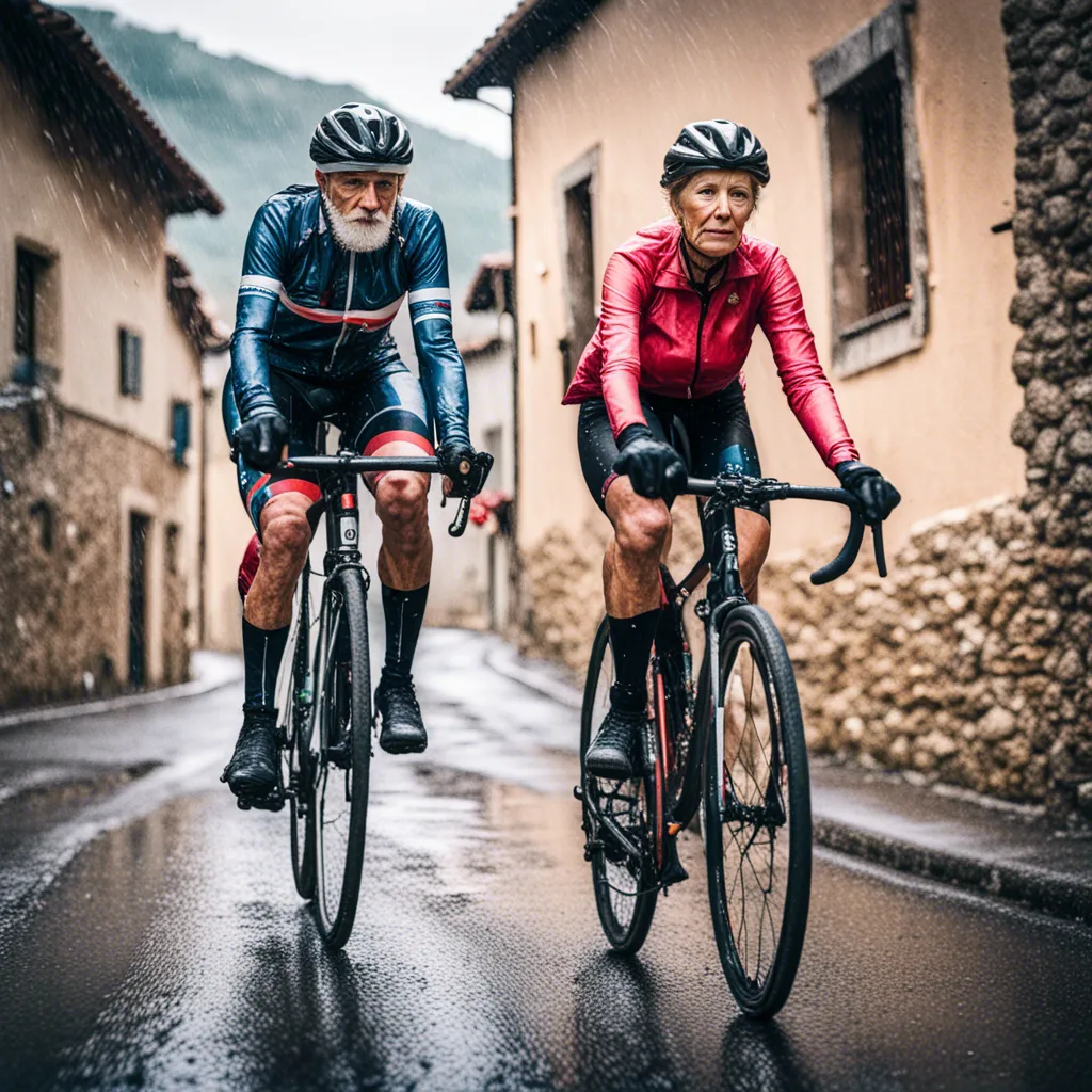
Roda la Vall is a @200km, 5-stage circular cycling route that has been designed to enable cyclists to visit and discover the Vall de Albaidacomarca in the province of Valencia and its landscape of olive trees, vineyards, mountains and tracks.
The route is mainly off-road and, with a total of some 4700 metres of accumulated altitude gain, it is suitable medium-ability gravel, MTB and e-bike cyclists. The route is signposted throughout, and there are tracks available for each of the stages which can be downloaded via the links given on this page.
Though nominally beginning and ending in the capital of the comarca, Ontinyent, the route passes directly through the village of Pinet, which can serve as the point of departure and arrival. In practical terms, this would amount to taking Stage4 as indicated in the official guide as Stage 1.
It must also be mentioned that one or two of the sections indicated in the official Roda La Vall route are a little more difficult than they may initially appear on paper, and as such we would suggest that the route as shown here is suitable for in-form MTBers and cyclists on e-MTBs.
There is a shorter route with less climbing and less off-road sections that has been designed with gravel and touring cyclists in mind, and which can be consulted and downloaded from here:
Almost all the sections that make up the Roda la Vall cycling route can be modified and/or exchanged for alternatives to suit the distance and degree of difficulty with which each cyclist feels comfortable. At Spain Track & Trails we will be happy to help configure a route suited to your own particular needs.
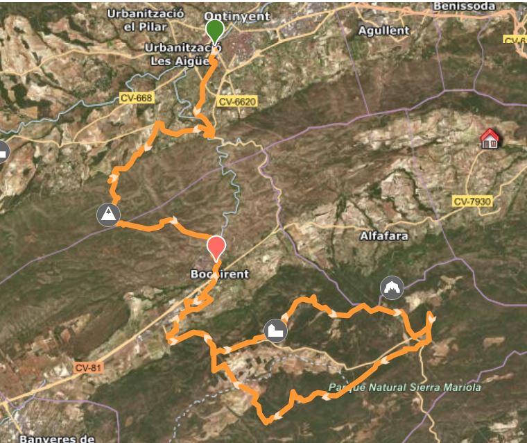
Stage 1: Ontinyent — Bocairent
Distance: 44.13 km
Altitude gain: 1,048 m
Paths and tracks: 32.52 km
Road: 12 km
Difficulty: 3-4
The first stage of Roda la Vall takes us from Ontinyent, the capital of Vall d’Albaida, to the nearby town of Bocairent in the Sierra Mariola mountain range.
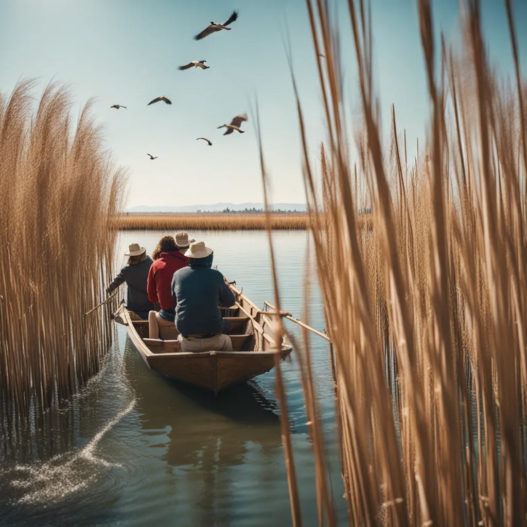
Starting from the Ontinyent Tourist Office, located in the town’s monumental Palau de la Vila, we leave the city along a bike path that takes us through the local agricultural land to the natural pools of Pou Clar, fed by the waters of River Clariano as it makes its way from the mountains of inland Valencia down towards the coast. From there we head towards the spectacular – and notable – climb of Sierra de la Ombría and the Holy Christ Chapel, located at an altitude of 730 m.
From here we descend via the Stations of the Cross to the first stage’s destination in the partially-walled medieval Bocairent, undoubtedly one of the most beautiful towns in the Valencia Region.
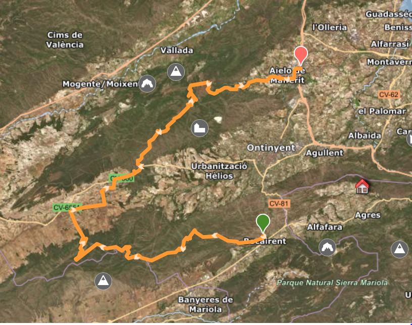
Distance: 55.99 km
Altitude gain: 988 m
Paths and tracks: 44.54 km
Road: 11.7 km
Difficulty: 3-4
The second longest stage includes the most climbing and is also the most solitary, passing only through one village, Fontanars del Alforins, located roughly at the halfway point.
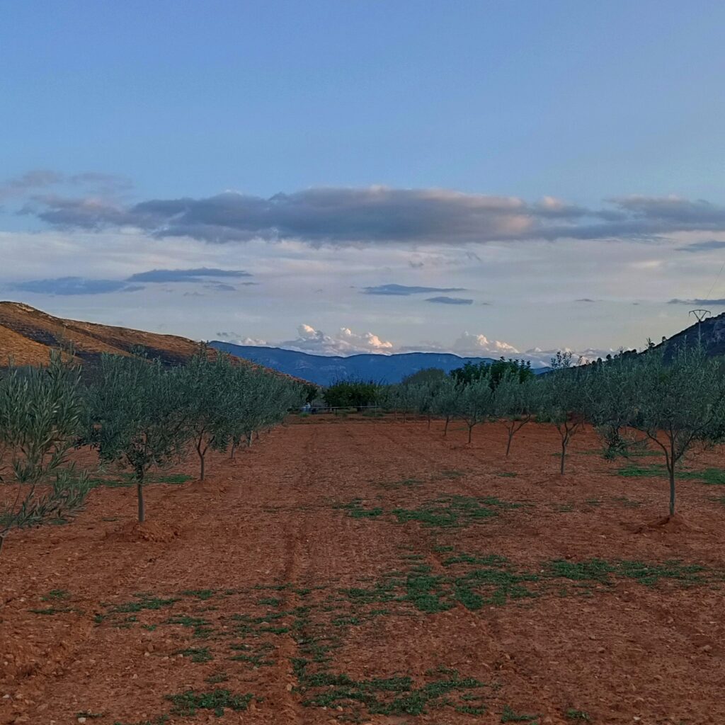
Climbing out of Bocairent to Mas de Ponce, the route follows the peaks of the Sierra de la Ombría range, passing the Font del Ballester spring, before descending to Fontanars dels Alforins, a small village mainly dedicated to the cultivation of vineyards and the production of wine, oliveoil, almonds and fruit.
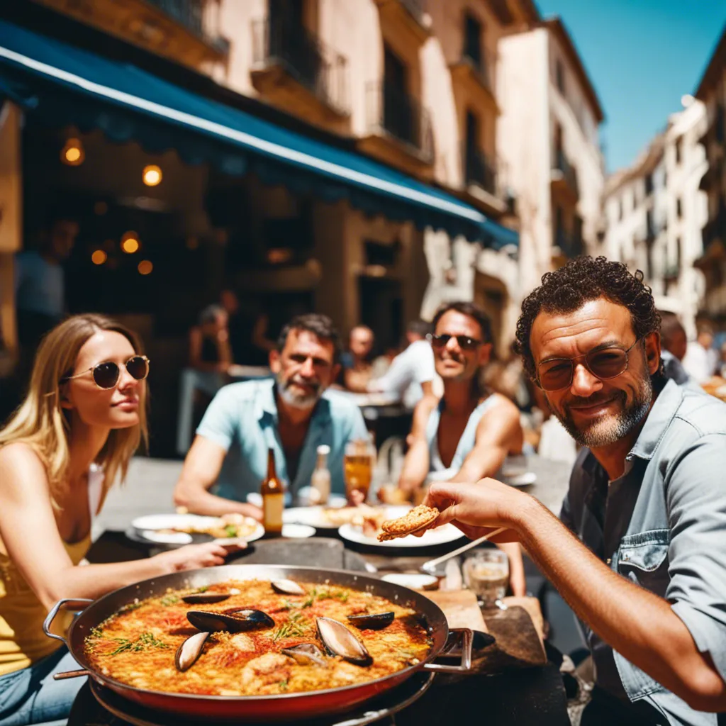
From here the route climbs once more to the Serra Grossa range, before descending through the spectacular landscape of Barranco del Joncar to the town of Aielo de Malferit, birthplace of the famous Spanish singer Nino Bravo.
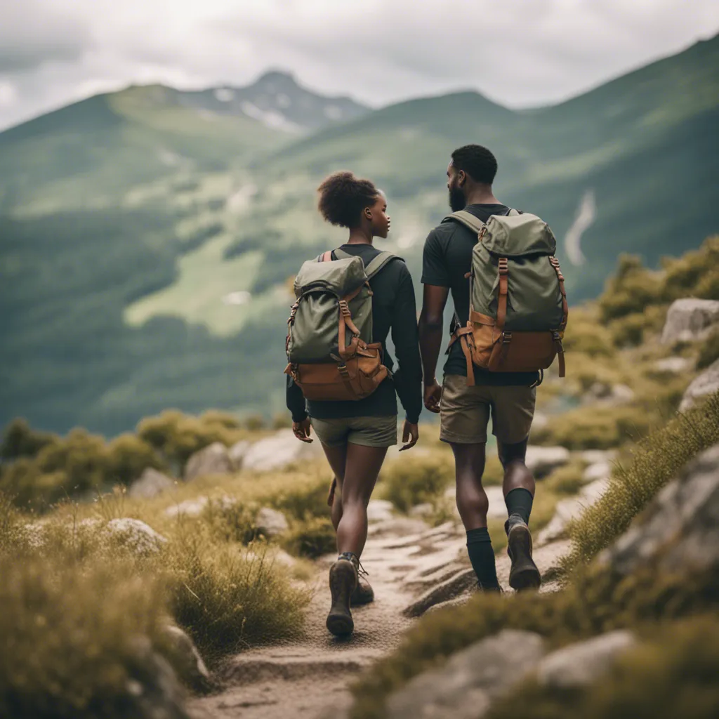
Nestled in a picturesque village, our accommodation offers a perfect retreat for cyclists, walkers, and nature lovers. Experience the beauty of Valencia’s landscapes with comfort and charm.
Scenic cycling routes
Guided nature walks
Rock climbing adventures
Experience Unmatched Comfort in Nature's Embrace
Nestled in the heart of Valencia, our accommodation offers unparalleled comfort for adventurers. Enjoy modern amenities while being surrounded by breathtaking landscapes, perfect for cycling, hiking, and rock climbing.
Cozy rooms with stunning views
Access to exclusive trails
Guided tours available
Discover Our Eco-Friendly Lodging
Nestled in the heart of Valencia, our accommodations offer a unique blend of comfort and sustainability. Enjoy eco-friendly amenities designed for cyclists, hikers, and climbers.
Solar-powered facilities
Secure bike storage
Guided nature tours
Discover the beauty eastern of Spain with our rural accommodation tailored for active tourism